Errack — CITADEL
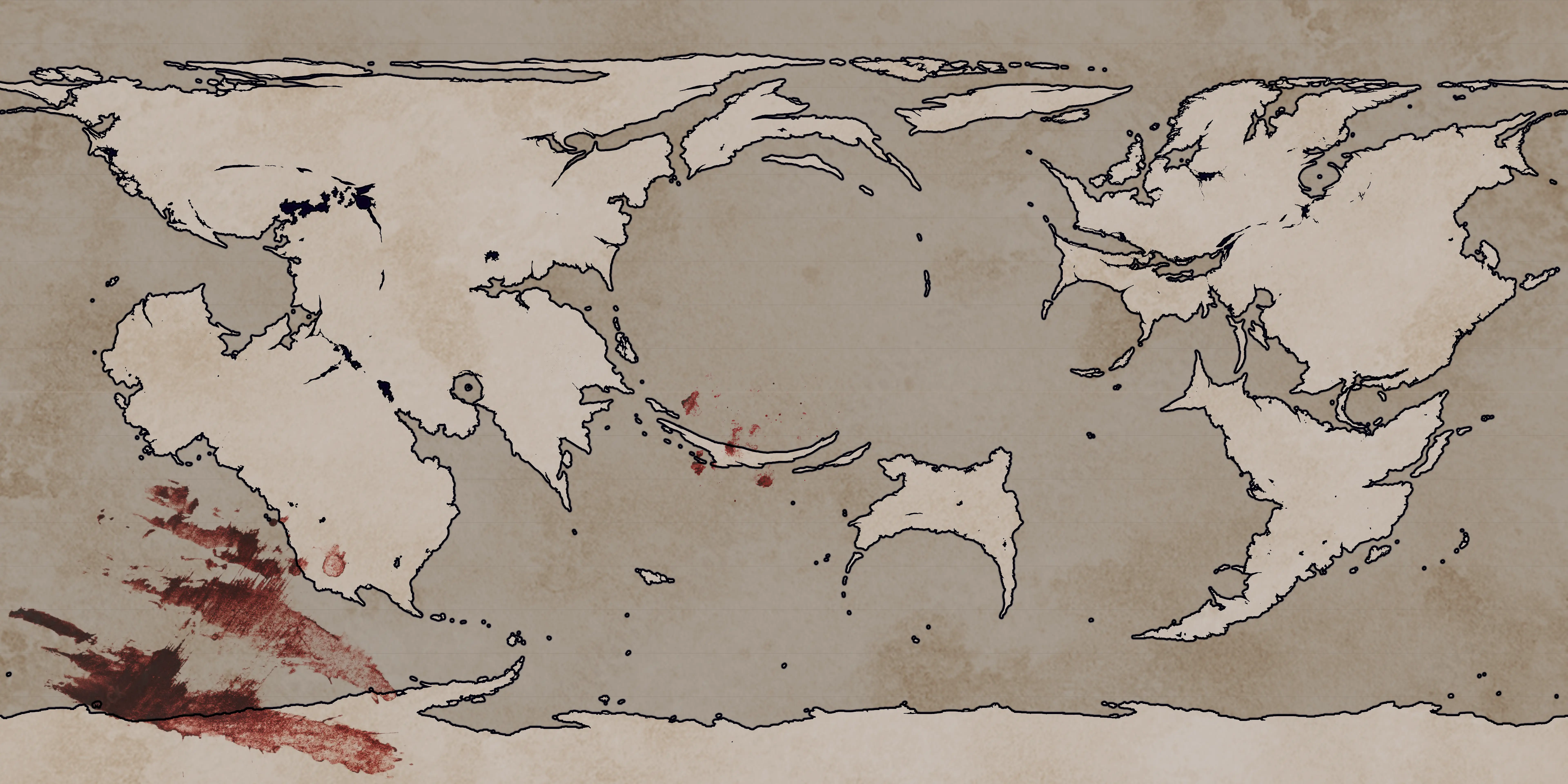
This map presents Errack as it is understood during CITADEL. Use the Atlas view to pan and zoom across the full-resolution artwork. Canonical locations can be added over time without exposing the non-canon test markers used by the separate exploration demonstration.
Map scope
Section titled “Map scope”This is the era-level map linked from the CITADEL homepage. Regional and settlement maps should be created as separate Atlas maps and linked from this map as nested entries when they are ready.